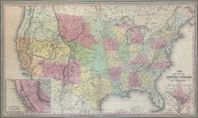
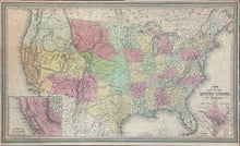
J.H. Young. Plate 5. “A New Map Of The United States of America.” From A New Universal Atlas…
Philadelphia: Cowperthwait, Desilver & Butler, 1850. 16 x 26 3/8. Lithographic transfer from engraved plate. Full original color. With fold as issued. Light time toning, narrow margins, chips and repaired tears. Overall, good condition.
A strong and detailed map of the entire United States from the mid-nineteenth century, published by one of the Cowperthwait firms of Philadelphia. Towns, rivers, orography and other surprising details are shown throughout. The Cowperthwait maps are especially known for their depiction of the transportation routes, and this map is no exception. Roads, and railroads are shown in the eastern part of the country, while west of the Mississippi are drawn the major trails such as those going to Oregon and Santa Fe. States and territories are named and highlighted in contrasting pastel shades, with this information being of particular interest in the trans-Mississippi region. The western most part is shown as determined by the Compromise of 1850, with California as a state and the large Utah and New Mexico territories below Oregon. The lands north of Texas are depicted as comprised of two large territories, Indian and “Missouri or North West Territory.” To the east of the latter is the Minnesota Territory comprised of today’s Minnesota and the Dakotas. Also of considerable interest is the inset in the lower left corner of the “Gold Region of California,” giving even more detail of the region involved in the great gold rush of 1849. This edition of this map adds detail on the “Great Pacific Railroad Routes.” These proposed routes are indicated by dotted lines in the west and their inclusion shows how concerned contemporary mapmakers were to keep their maps right up-to-date. Overall this is a fascinating map from an important time in the western development of the United States.


