Collection: Sea Charts
Navigational charts from government sources. Scarce, as they were meant to be destroyed when updated charts were issued, to prevent the use of out of date soundings and information.
-
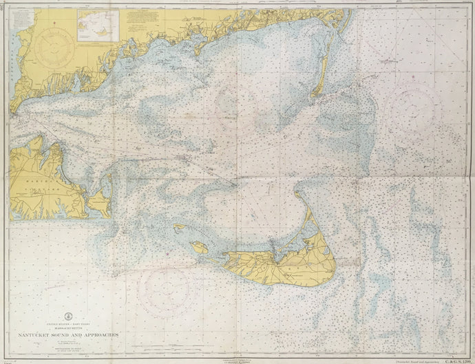
United States Coast Survey “Nantucket Sound and Approaches”
![]()
- Regular price
- $250
- Sale price
- $250
- Regular price
-
- Unit price
- per
Sold -
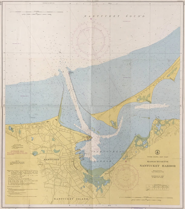
United States Coast Survey “Nantucket Harbor”
![]()
- Regular price
- $200
- Sale price
- $200
- Regular price
-
- Unit price
- per
Sold -
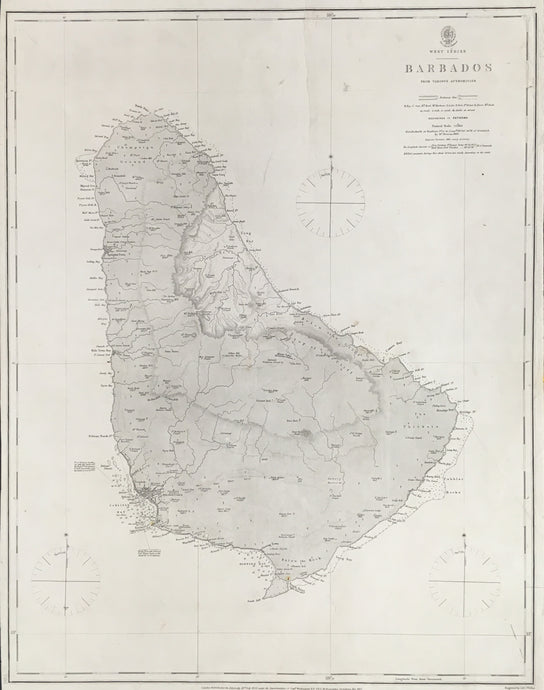
British Admiralty "Barbados From Various Authorities"
![]()
- Regular price
- $575
- Sale price
- $575
- Regular price
-
- Unit price
- per
Sold -
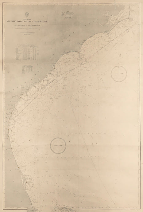
Mahon, Charles “Atlantic Coast of the United States. Cape Hatteras to Cape Canaveral.”
![]()
- Regular price
- $625
- Sale price
- $625
- Regular price
-
- Unit price
- per
Sold -
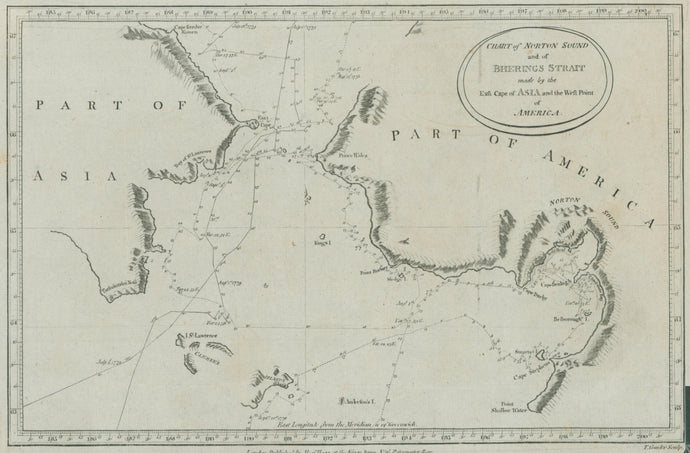
Unattributed. "Chart of Norton Sound and of Berings Strait made by the East Cape of Asia and the West Point of America."
![]()
- Regular price
- $85
- Sale price
- $85
- Regular price
-
- Unit price
- per
Sold


