Collection: Maps of Canada & Polar Regions
-
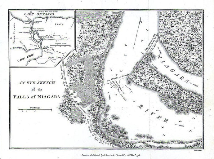
Weld, Isaac Jr. “An Eye Sketch of the Falls of Niagara.
![]()
- Regular price
- $95
- Sale price
- $95
- Regular price
-
- Unit price
- per
Sold -
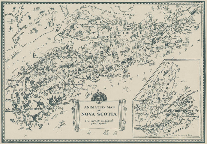
Elias, Arthur Edward "Animated Map of Nova Scotia"
![]()
- Regular price
- $85
- Sale price
- $85
- Regular price
-
- Unit price
- per
Sold -
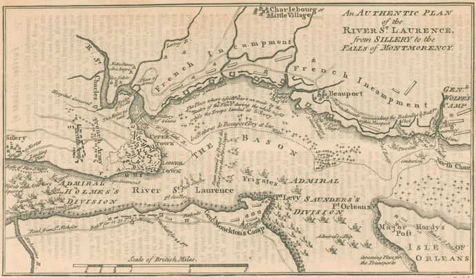
Unattributed “An Authentic Plan of the River St. Laurence, from Sillery to the Falls of Montmorency” [Canada]
![]()
- Regular price
- $200
- Sale price
- $200
- Regular price
-
- Unit price
- per
Sold -
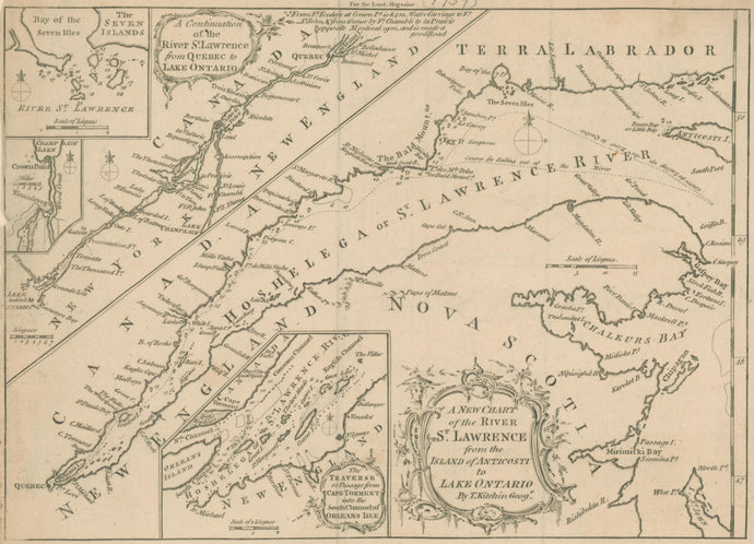
Kitchin, Thomas “A New Chart of the River St. Lawrence from the Island of Anticosti to Lake Ontario"
![]()
- Regular price
- $200
- Sale price
- $200
- Regular price
-
- Unit price
- per
Sold -
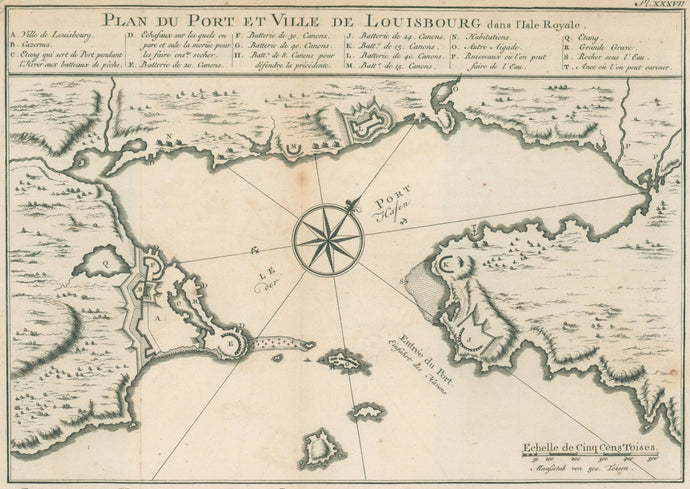
Ulloa and Santacilla “Plan du Port et Ville de Louisbourg dans l’Isle Royale” [Nova Scotia]
![]()
- Regular price
- $150
- Sale price
- $150
- Regular price
-
- Unit price
- per
Sold -
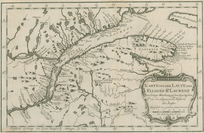
Bellin, Jacques Nicolas “Karte von dem Laufe des Flusses St Laurenz"
![]()
- Regular price
- $200
- Sale price
- $200
- Regular price
-
- Unit price
- per
Sold -
Cram, George "San Francisco/Toronto"
![]()
- Regular price
- $75
- Sale price
- $75
- Regular price
-
- Unit price
- per
Sold -
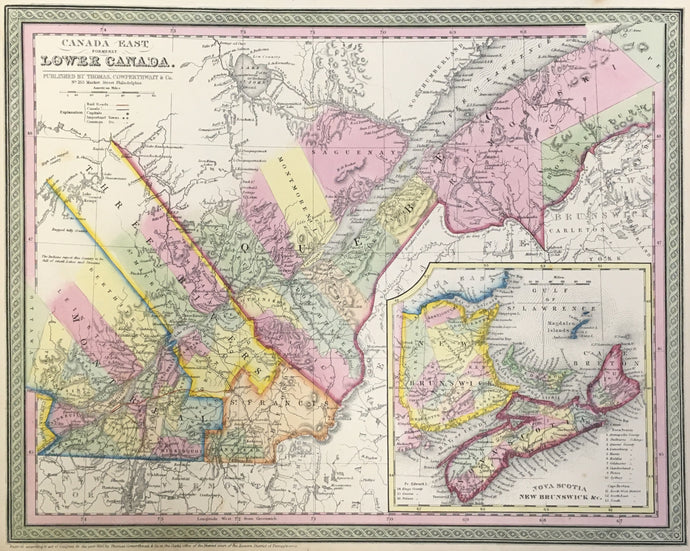
Mitchell, S. Augustus "Canada East, Formerly Lower Canada"
![]()
- Regular price
- $95
- Sale price
- $95
- Regular price
-
- Unit price
- per
Sold -
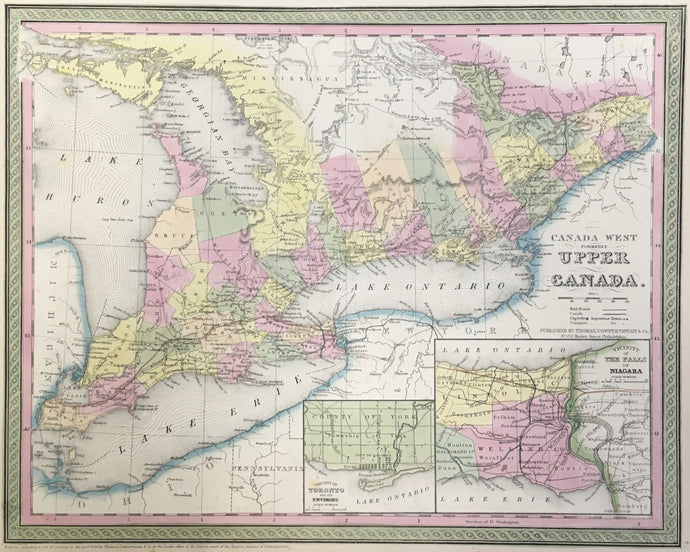
Mitchell, S. Augustus "Canada West, Formerly Upper Canada"
![]()
- Regular price
- $95
- Sale price
- $95
- Regular price
-
- Unit price
- per
Sold -
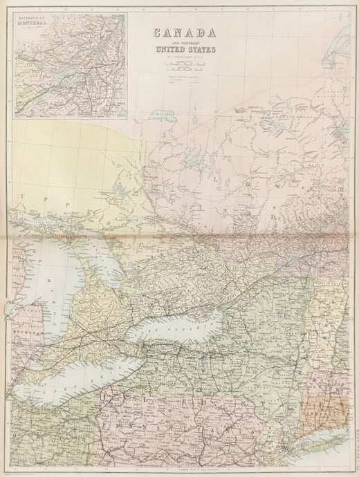
Unattributed “Canada and Northern United States” From "Black’s General Atlas"
![]()
- Regular price
- $95
- Sale price
- $95
- Regular price
-
- Unit price
- per
Sold -
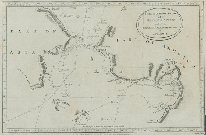
Unattributed. "Chart of Norton Sound and of Berings Strait made by the East Cape of Asia and the West Point of America."
![]()
- Regular price
- $85
- Sale price
- $85
- Regular price
-
- Unit price
- per
Sold -
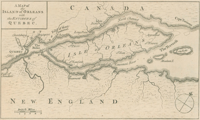
Unattributed "A Map of the Island of Orleans with the Environs of Quebec”
![]()
- Regular price
- $225
- Sale price
- $225
- Regular price
-
- Unit price
- per
Sold -
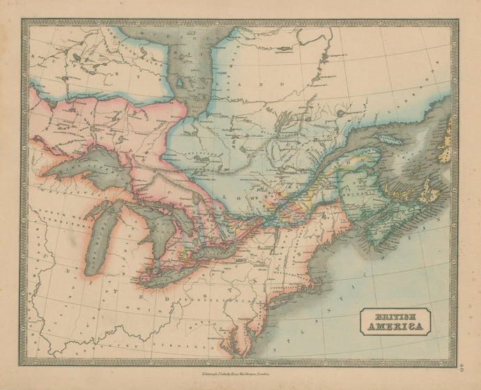
Gellatly, John “British America”
![]()
- Regular price
- $150
- Sale price
- $150
- Regular price
-
- Unit price
- per
Sold -
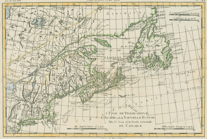
Bonne, Rigobert “L'Isle De Terre-Neuve, L'Acadie, ou La Nouvelle Ecosse, l'Isle St. Jean, et la Partie Orientale Du Canada”
![]()
- Regular price
- $225
- Sale price
- $225
- Regular price
-
- Unit price
- per
Sold -
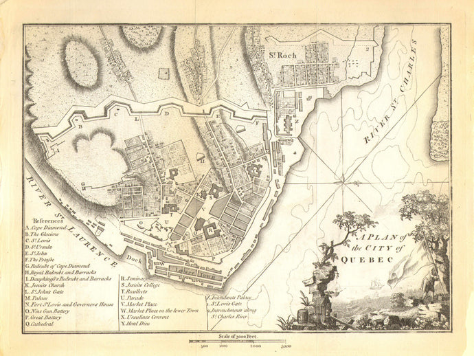
Stockdale, J. "A Plan of the City of Quebec"
![]()
- Regular price
- $175
- Sale price
- $175
- Regular price
-
- Unit price
- per
Sold