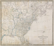
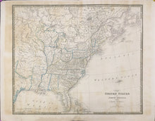
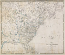
James Wyld (the younger). “The United States of North America, with the British Territories.”
London: J. Wyld, 1841. 21 x 25. Engraving. Original outline hand color. Full margins. Browning in margins and portions of map. Repaired tear bottom margin. Else, good condition. Sold as is. A/A
A beautifully produced map of the United States by James Wyld the younger. James Wyld the elder (1790-1836) was the successor to William Faden’s business in 1823, and he went on to establish himself as one of the leading cartographers in the world. He died in 1836 of overwork, and was succeeded by his son, James the younger (1812-1887), who had joined his father’s business in 1830. In 1837, Queen Victoria succeeded to the throne, and Wyld was appointed Geographer to the Queen and H.R.H. Price Albert. He maintained the quality of the firm’s output and eventually passed on the family business to his son, John Cooper Wyld.
This map is one of a long line of maps of the United States which actually began with William Faden’s 1777 map of “The British Colonies in North America.” The map was regularly updated by Faden, then Wyld the elder and finally Wyld the younger. Stevens & Tree (“Comparative Cartography”) list 14 versions between 1777 and 1843. Each issue included updated information, making this series one of the best records of the first half-century history of the United States.


