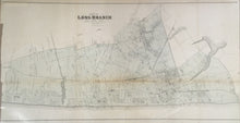
H.C. Woolman. “Long Branch.” From Historical and Biographical Atlas of the New Jersey Coast.
Philadelphia: Woolman & Rose, 1878. 20 x 37. Lithograph on onion skin paper. Original hand color. With folds as issued. Horitzontal browning in center of map with some small losses of map surface. Rough top and left hand margin. Map has been professionally conserved. Else, fine condition.
A map from the first atlas of the New Jersey coast which contained town maps and charming views from the northern point of Sandy Hook to the southern point of Cape May.


