

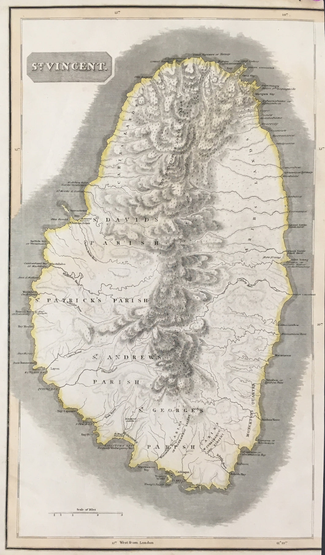
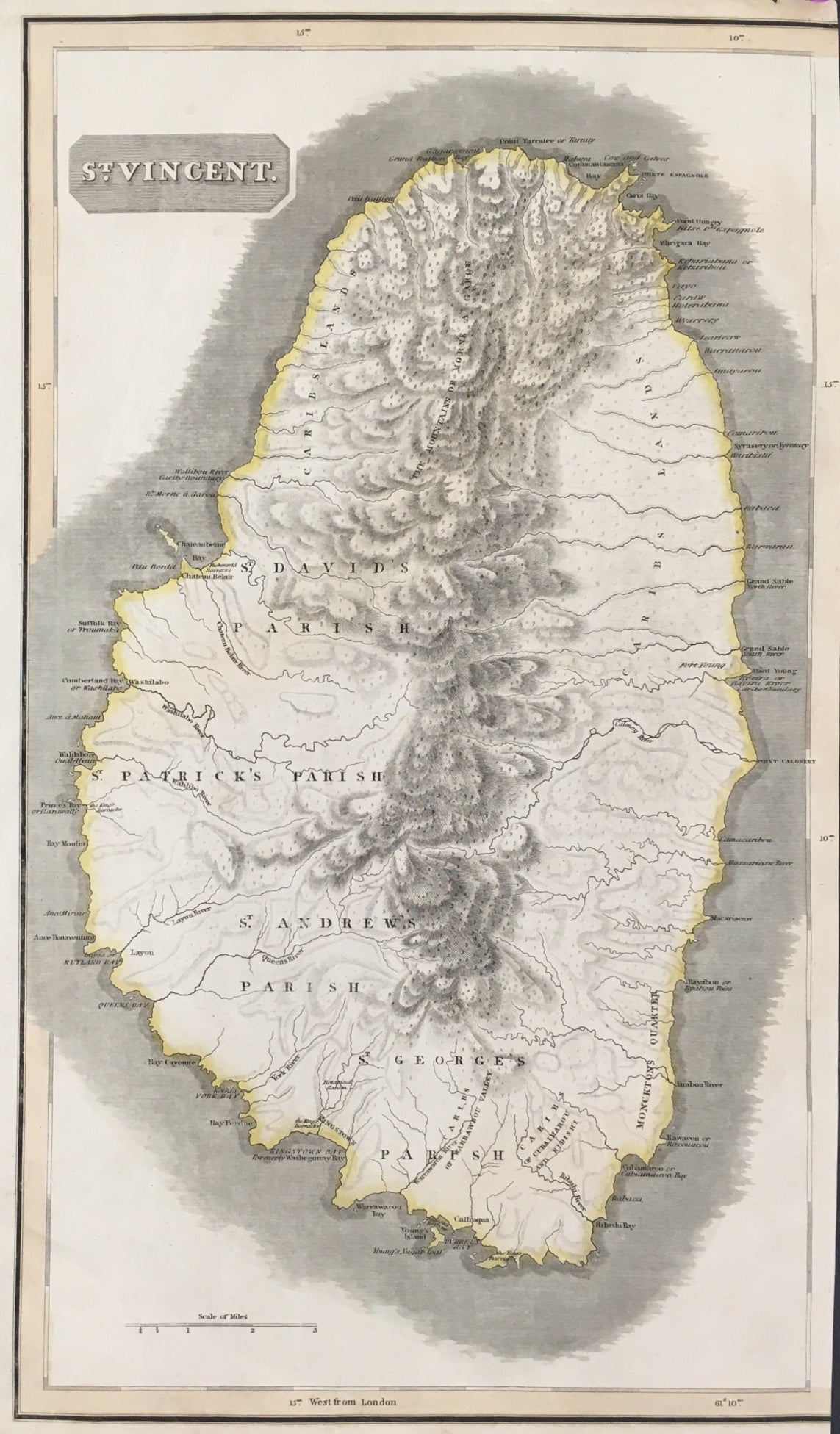
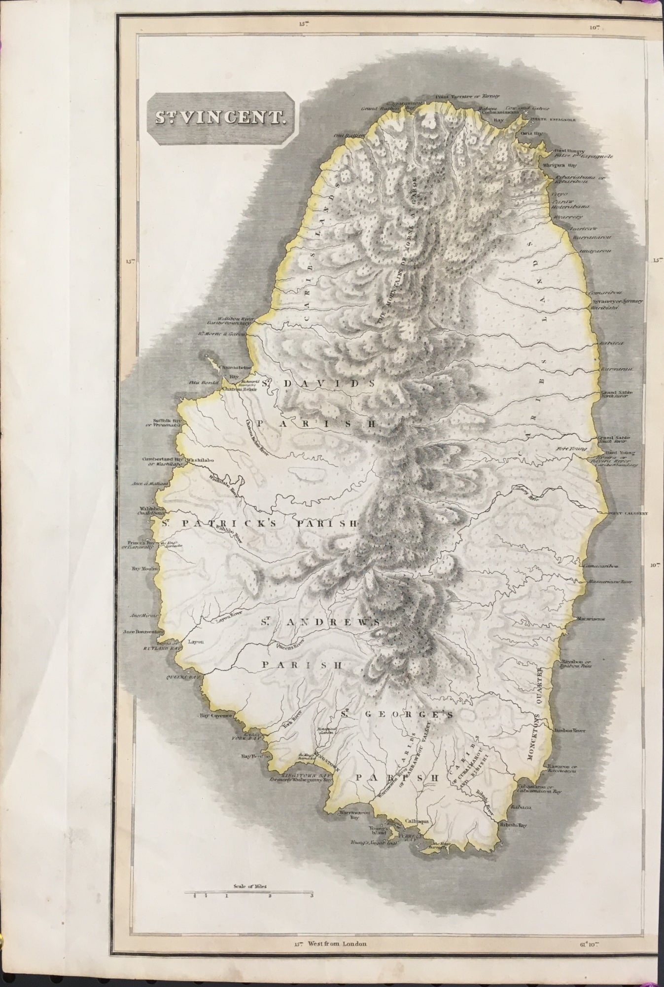
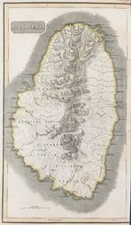
John Thomson (1777 - 1841). Plate 67. "St. Vincent.” From A New General Atlas.
Edinburgh: J. Thomson & Co, 1821. 19 1/2 x 23 1/4. Engraving by Kirkwood & Son. Original hand color. Right hand portion of map trimmed within neat line. Soft crease in left hand margin. Else fine condition.
In the early nineteenth century, the British cartographic publishers were producing the finest maps in the world. John Thomson, working in Edinburgh, was one of the leading British cartographers and his maps are good evidence of the quality of work issued in Great Britain at the time. The navy and marine merchants of Great Britain dominated the world at the time, so the islands of the West Indies were of particular interest. Thomson included both a general map and other maps which illustrated individual islands.
 %20%0A%20%0Ahttps://philaprintshop.com/products/thomson-john-st-vincent %20%0A%20%0AThomson,%20John%20%E2%80%9CSt.%20Vincent%E2%80%9D %20%0A%20%0A//philaprintshop.com/cdn/shop/products/thomson-stvincentc_1024x1024.jpg?v=1677790738 %20%0A%20%0AAntique Prints, Maps, Drawings, Paintings and Rare Books! %20%0A%20%0AThe Philadelphia Print Shop %20%0A106 E. Lancaster Avenue, Lower Level %20%0AWayne, PA 19087 %20%0A%20%0APhilaPrintShop.com %20%0A@PhiladelphiaPrintShop %20%0A 610 (808) 6165)