

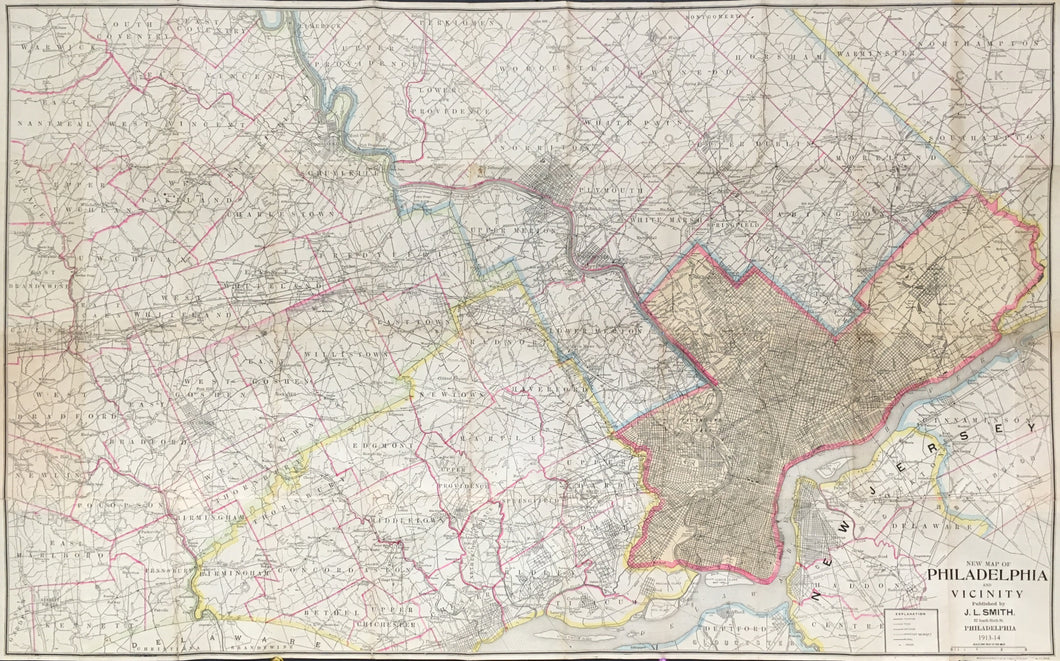

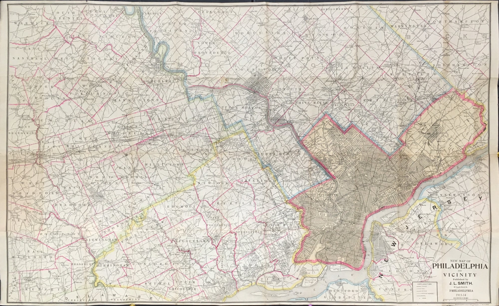
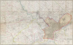
J.L. Smith. “New Map of Philadelphia and Vicinity.”
Philadelphia: J.L. Smith, 1913-14. Separately issued, folding map. 26 x 42. Lithograph. Original printed color. Backed on linen with folds as originally issued. A few folds reinforced on verso with acid free linen tape in addition to a few minute holes where folds intersect. Faint browning in left hand side panel where map was once attached to cover. Else, very good condition.
A large folding map of Philadelphia and the regions to the north as far as North Wales, to the east as far as Moorestown, and to the west just beyond Downingtown. Major streets and some buildings are shown in the city. Extensive information is given for the surrounding area, including roads, rivers, rail lines, mills, hotels, meeting houses, and myriad other geographic details. Township borders are also shown.
Map must be shipped flat.
 %20%0A%20%0Ahttps://philaprintshop.com/products/smith-j-l-new-map-of-philadelphia-and-vicinity-1914 %20%0A%20%0ASmith,%20J.L.%20%22New%20Map%20of%20Philadelphia%20and%20Vicinity%22%201914 %20%0A%20%0A//philaprintshop.com/cdn/shop/products/smithphila1914c_1024x1024.jpg?v=1670965540 %20%0A%20%0AAntique Prints, Maps, Drawings, Paintings and Rare Books! %20%0A%20%0AThe Philadelphia Print Shop %20%0A106 E. Lancaster Avenue, Lower Level %20%0AWayne, PA 19087 %20%0A%20%0APhilaPrintShop.com %20%0A@PhiladelphiaPrintShop %20%0A 610 (808) 6165)