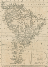
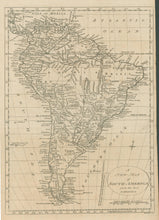
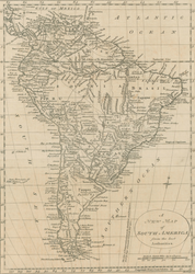
William Russell. “A New Map of South America from the best Authorities.” From History of America.
London: Fielding and Walker, 1778. 13 ½ x 9 3/8 (neat lines). Engraving by John Lodge. Very good condition.
An interesting map of South America from the end of the eighteenth century. Detail is extensive throughout the continent. Included are depictions and names of rivers, lakes, settlements, and some orography. Political divisions are also noted. Given the early date of this map, the accuracy of the information is quite impressive.


