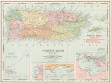
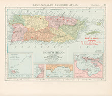
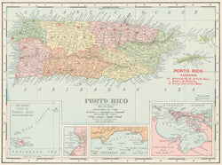
Rand McNally. “Porto Rico.” From Rand McNally Indexed Atlas.
Chicago: Rand McNally, 1908. 9 ½ x 12 ½. Color cereograph. Very good condition.
An early twentieth century map of Puerto Rico from the Rand, McNally & Co. firm out of Chicago, a company that would shift the center of cartographic publishing from the east coast to the mid-west. Typical of the firm’s work, this map has very good detail precisely and neatly exhibited. Aesthetically and cartographically, it epitomizes the Rand McNally maps of the twentieth century.


