
Edward C. Papenfuse and Joseph M. Coale III. The Maryland State Archives Atlas of Historical Maps of Maryland, 1608-1908.
Baltimore, 2003. Cloth.
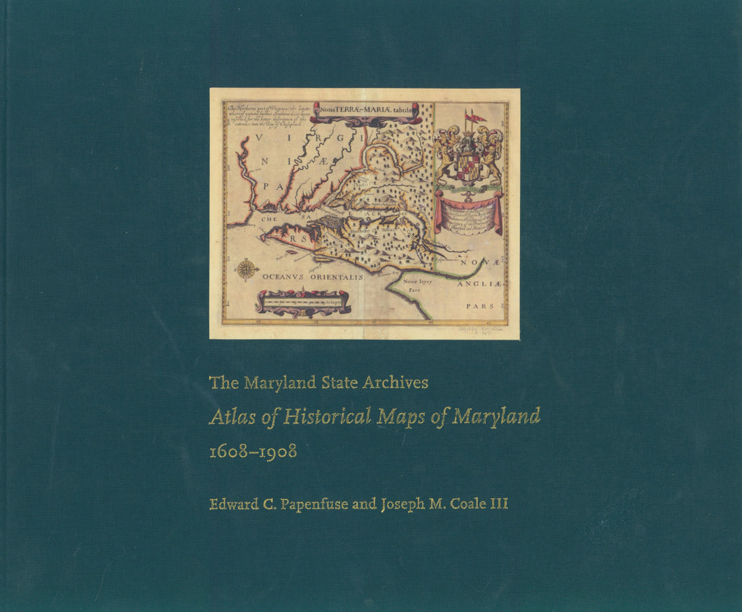
An updated and greatly expanded version of the authors' 1982 Hammond-Harwood House Atlas, this volume is handsome and informative, with full-color illustrations of over 230 maps.

 %20%0A%20%0Ahttps://philaprintshop.com/products/papenfuse-coale-the-maryland-state-archives-atlas-of-historical-maps-of-maryland-1608-1908 %20%0A%20%0APapenfuse%20%26%20Coale%20%22The%20Maryland%20State%20Archives%20Atlas%20of%20Historical%20Maps%20of%20Maryland,%201608-1908%22 %20%0A%20%0A//philaprintshop.com/cdn/shop/products/mdarchivesatlas_1024x1024.jpg?v=1645813865 %20%0A%20%0AAntique Prints, Maps, Drawings, Paintings and Rare Books! %20%0A%20%0AThe Philadelphia Print Shop %20%0A106 E. Lancaster Avenue, Lower Level %20%0AWayne, PA 19087 %20%0A%20%0APhilaPrintShop.com %20%0A@PhiladelphiaPrintShop %20%0A 610 (808) 6165)