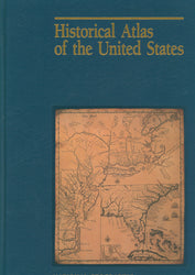
National Geographic Society. Historical Atlas of the United States.
Washington, 1993. Cloth.
Using antique maps, prints, photos and other artifacts as illustrations this atlas chronologically depicts the cartography of the territories that became the United States, from 1400 to the 1990s. Includes a folded wall map, overlay in four scales, and flat magnifier.

