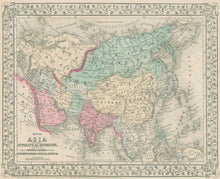
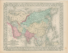
S. Augustus Mitchell Jr. "Map of Asia, Showing Its Gt. Political Divisions and also the Various Routes of Travel Between London & India, China & Japan &c."
Philadelphia: S. A. Mitchell, Jr., 1867. Lithograph. Original hand-coloring. 10 3/4 x 13 3/8. Full margins. Very good condition.
For most of the middle part of the nineteenth century, the firm founded by S. Augustus Mitchell dominated American cartography in output and influence. This fine map is from one of his son's atlases issued in 1867. It depicts as current geographical information as was available at the time, showing rivers, lakes, towns, trade routes and some orography. Political divisions are clearly indicated, highlighted with contrasting colors, giving us an interesting picture of what Americans understood of the states of Asia. A wonderful cartographic document from over a century ago.


