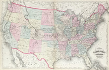
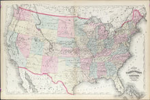
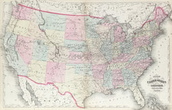
H.H. Lloyd. “United States of America and Territories, Philadelphia, 1872.”
Philadelphia: Walling and Gray, 1872. 15 5/8 x 26 3/4. Lithograph. Original hand color. Very good condition.
The unusual feature in this map is the southern tip of Montana Territory which shows the area of “Lost Dakota” which was part of the Dakota Territory even though some 350 miles away. In 1873, it was annexed by Montana and incorporated into Gallatin County.


