


Geographical Publishing Co. “The World. Van Der Griten's Spherical Projection.”
Chicago: Geographical Publishing Co., 1910. 35 ¾ x 27 ¾ (paper). Color cerograph. Fourteen inch vertical tear from bottom into world map skillfully repaired and in-painted. Partial loss of image in coat of arms of Great Britain and portrait of Ferdinand I of Bulgaria filled with old matching paper on verso and skillfully in-painted in facsimile. Wear and chipping along map edges with minor creases and crinkling in map top and bottom all as to be expected. Few short tears along margin edges repaired with archival tape. Top margin trimmed just into flags at top as originally issued. Else, good condition.
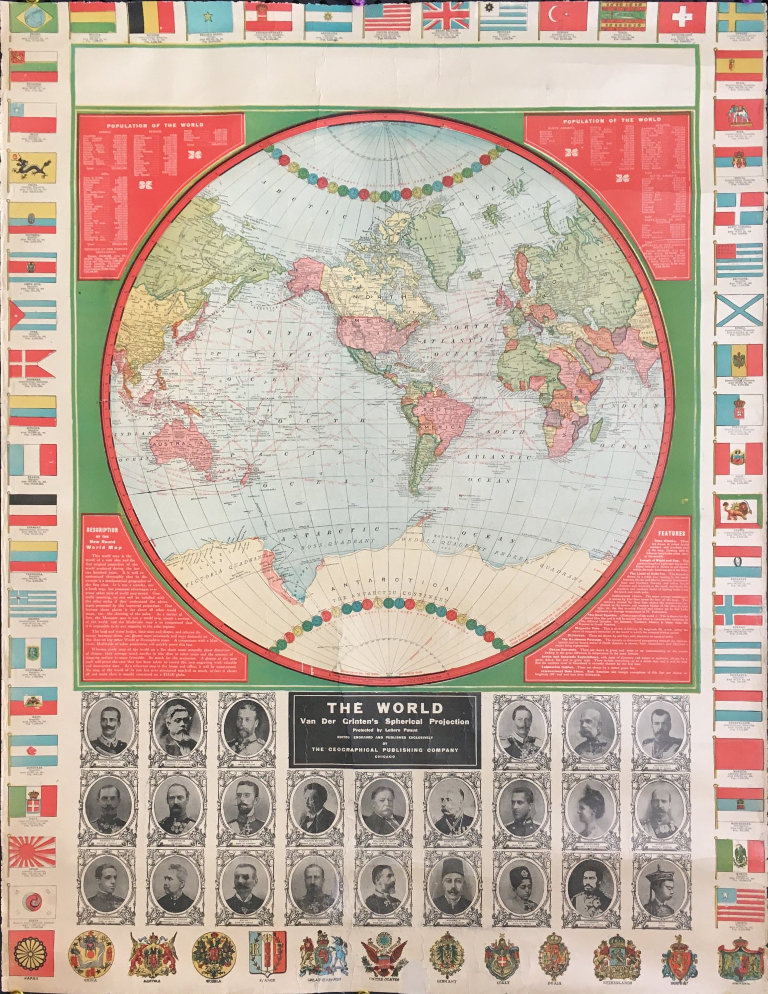
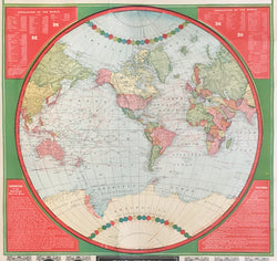
An interesting wall map published by the Geographical Publishing Company. This map of the world is surrounded by flags of many nations and just below the map are portraits of leaders of the major nations of the world at that time. At the very bottom are the coat of arms and national symbols of the leading nations of the world. On the verso of the map is extensive information and photographs regarding the construction of the Panama Canal. One would assume that not many of these maps were issued and survive; we were unable to find a copy listed anywhere.
 %20%0A%20%0Ahttps://philaprintshop.com/products/geographical-publishing-co-the-world-van-der-gritens-spherical-projection %20%0A%20%0AGeographical%20Publishing%20Co.%20%E2%80%9CThe%20World.%20%20Van%20Der%20Griten's%20Spherical%20Projection%E2%80%9D %20%0A%20%0A//philaprintshop.com/cdn/shop/products/geoworldmapc_1024x1024.jpg?v=1668101655 %20%0A%20%0AAntique Prints, Maps, Drawings, Paintings and Rare Books! %20%0A%20%0AThe Philadelphia Print Shop %20%0A106 E. Lancaster Avenue, Lower Level %20%0AWayne, PA 19087 %20%0A%20%0APhilaPrintShop.com %20%0A@PhiladelphiaPrintShop %20%0A 610 (808) 6165)