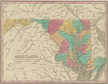
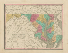
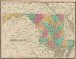
Anthony Finley. “Maryland.”
From A New General Atlas. Philadelphia: A. Finley, 1830. 11 1/2 x 8 5/8. Engraving by Young & Delleker. Original hand color. Very good condition.
In the 1820’s, Anthony Finley produced a series of fine atlases in the then leading American cartographic center, Philadelphia. Finley’s work is a good example of the quality that American publishers were beginning to obtain in the second decade of the century. Finley was very concerned to depict as up-to-date information as was possible, and thus his map presents an accurate picture of the state in the early 1820s. This map is elegantly presented, with crisp and clear engraving and attractive pastel hand shading. Towns, rivers, and political divisions are indicated, and the road system throughout the state is marked. The hand coloring makes this map as attractive as it is informative.


