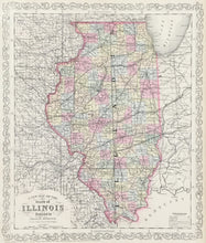
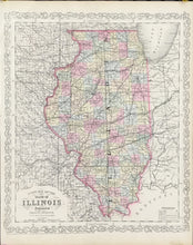
Charles Desilver. "A New Map of the State of Illinois."
Philadelphia: Charles Desilver, 1856. 15 3/4 x 13 1/4. Lithograph. Original hand color. Very good condition. With decorative border.
Charles Desilver, one of the many publishers working in Philadelphia during the mid-nineteenth century, issued an atlas of maps based on the famous Tanner-Mitchell-Cowperthwait series. Desilver used much the same information as originally drawn in the 1840s, but updated the maps with new counties, roads, towns, and especially the transportation network of canals, roads and railroads, always the focus of the maps from this series. This map is typical of the rather unusual and scarce Desilver atlas. The growth of roads and railroads in the southern part of the state is impressive and indicative of the huge growth in the region during the middle part of the century. An attractive and fascinating Illinois document.


