

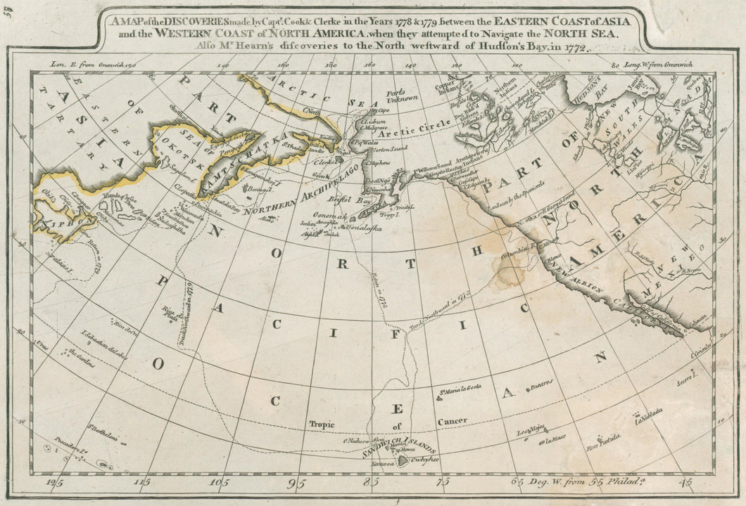

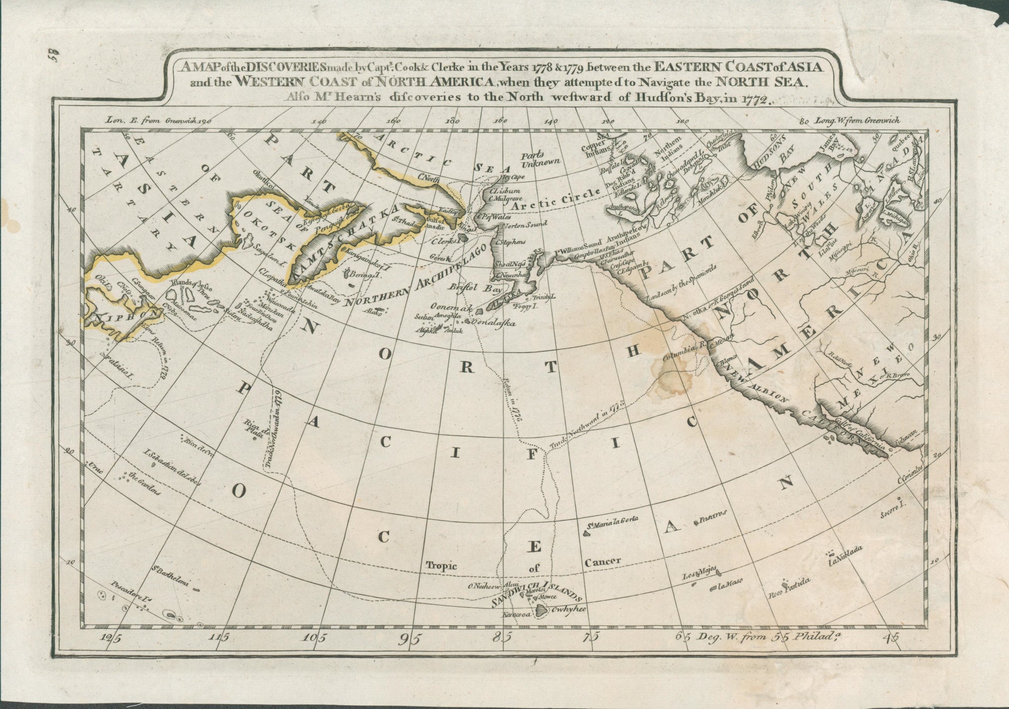
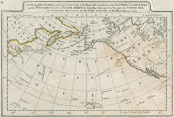
Mathew Carey. “A Map of the Discoveries made by Captn.s Cook & Clerke in the Years 1778 & 1779 between the Eastern Coast of Asia and the Western Coast of North America . . . . Also Mr. Hearn's discoveries to the North westward of Hudson's Bay, in 1772.”
Philadelphia: M. Carey, 1814. 7 ½ x 11 ¼ (neatlines). Engraving. Original outline hand color. Staining in map. Triangular fill in top margin with scattered small loses in map and margins bottom right hand side all skillfully repaired. Small chip in corner of top right hand margin. Else, fair condition.
An interesting American map of the Pacific Ocean as far north as the Bering Strait and the Artic Ocean. Published by Mathew Carey in 1814, during the War of 1812, this map is from Carey’s Atlas which represented the best American cartographic work of the period. Carey, an Irish immigrant, established the first American specialized cartographic publishing firm. He set up an elaborate cottage system of craftsmen for engraving, printing, and coloring his maps utilizing the best independent artists directed to a common end. Carey is important, then, not only for the excellent maps he produced, but for his setting the pattern for American map publishing, to be followed by the likes of John Melish and Henry S. Tanner. In this map the explorations of Cook are shown, with the outline of Alaska clearly improved from previous maps, though still somewhat indistinct. A very early mention of the name “Alaska” appears in the Alaska Peninsula. A fine early American historic document.
 %20%0A%20%0Ahttps://philaprintshop.com/products/carey-mathew-a-map-of-the-discoveries-made-by-captn-s-cook-clerke-in-the-years-1778-1779-between-the-eastern-coast-of-asia-and-the-western-coast-of-north-america %20%0A%20%0ACarey,%20Mathew%20%20%E2%80%9CA%20Map%20of%20the%20Discoveries%20made%20by%20Captn.s%20Cook%20%26%20Clerke%20in%20the%20Years%201778%20%26%201779%20between%20the%20Eastern%20Coast%20of%20Asia%20and%20the%20Western%20Coast%20of%20North%20America%20.%20.%20.%E2%80%9D%20(1814) %20%0A%20%0A//philaprintshop.com/cdn/shop/products/careypacific1814c_1024x1024.jpg?v=1667409307 %20%0A%20%0AAntique Prints, Maps, Drawings, Paintings and Rare Books! %20%0A%20%0AThe Philadelphia Print Shop %20%0A106 E. Lancaster Avenue, Lower Level %20%0AWayne, PA 19087 %20%0A%20%0APhilaPrintShop.com %20%0A@PhiladelphiaPrintShop %20%0A 610 (808) 6165)