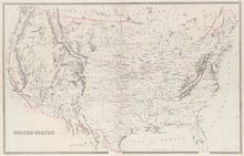
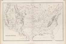
William Bradley. “United States.”
Philadelphia: W.M. Bradley & Bro., 1884. 14 ¾ x 23. Lithograph. Light original hand color. Very good condition.
A precisely detailed map from the Philadelphia publishing firm of William M. Bradley & Bro. While Philadelphia was no longer the main center of cartographic publishing in North America by the late nineteenth century, many fine maps were still produced there, as is evidenced by this map. Topography, political information, towns, roads and physical features are all presented precisely and clearly. This map shows the Dakota Territory and all of present day Oklahoma as “Indian Territory.”


