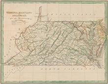
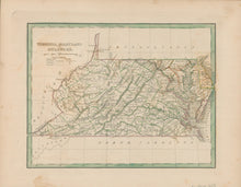
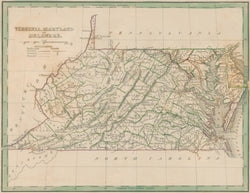
Thomas G. Bradford. “Virginia, Maryland and Delaware.”
From A Comprehensive Atlas. Geographical, Historical & Commercial. Boston: William D. Ticknor, 1835. 7 3/4 x 10 1/8. Engraving. Original outline color. Some light spotting in margins. Very good condition.
A small map published in Boston in 1835 showing these states in the first half of the nineteenth century. Information shown includes rivers, towns, counties and roads, both existing and proposed. An attractive map of an interesting period in the history of the United States.


