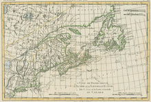
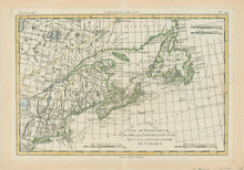
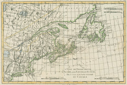
Rigobert Bonne. “L'Isle De Terre-Neuve, L'Acadie, ou La Nouvelle Ecosse, l'Isle St. Jean, et la Partie Orientale Du Canada”. From Atlas Encyclopédique by Bonne and N. Desmarest.
Paris: Hotel de Thou, 1787-88. 8 ¼ x 12 3/8 (neat lines). Engraving by André. Hand color. Very good condition.
Rigobert Bonne was the Royal Hydrographer of France, so his primary interest was in marine charts. However, with his Royal connections and access to the cartographic documents in Paris, Bonne was able to compile maps containing some of the most up-to-date information of his time. This map was issued in the Atlas Encyclopédique, a volume designed to accompany the other volumes from the Encyclopédie Méthodique. The maps from this atlas are all neatly engraved, and while containing considerable detail, they are none-the-less elegantly attractive.


