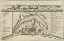
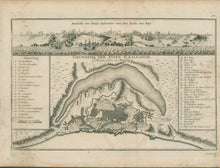
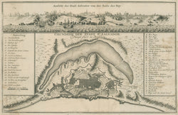
Jacques N. Bellin. "Grundriss der Stadt St. Salvador. Haupt-stadt in Brasilien.” From Allgemeine Historie Der Reisen Zu Wasser Und Zu Land…
Leipzig: Arkstee & Merkus, 1758. 7 1/2 x 11 3/4. Engraving. Very good condition.
A detailed map of San Salvador by Jacques Nicolas Bellin, the Hydrographer to the King of France, from a German edition of Prevost’s Voyages. From about 1650 to 1750, the French dominated the cartographic world, with their fine, scientifically based maps, elegantly engraved and precisely detailed. Bellin (1703-72) was one of the best in the later period. His map of the capital of El Salvador shows very precise detail of the city, with the main features identified through a numbered and a lettered key. An added feature is the view of the city as seen from the bay, engraved along the top.


