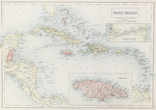
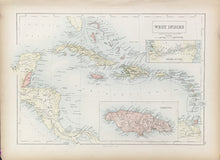
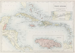
John Bartholomew (1831–1893). “West Indies.” From Black's General Atlas.
Edinburgh: A. & C. Black, ca. 1875. 10 ¼ x 15 (neat lines). Lithograph printed in color. Very good condition.
A map from a series of precisely detailed maps of the world from one of the leading British mapmaking firms of the nineteenth century. Adam and Charles Black issued atlases from the 1840s through the 80s, keeping their maps as current as possible. Two inset maps of Jamaica and the Panama Railway. This handsome map is a good example of their output.


