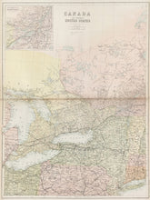
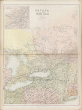
Unattributed. “Canada and Northern United States.” From Black’s General Atlas.
Edinburgh: A. & C. Black, 1865. 21 ½ x 16 ¼ (neat lines). Chromolithograph. Original hand color. With fold as issued. Light browning alone fold. Very good condition.
A map from a series of precisely detailed maps of the world from one of the leading British mapmaking firms of the nineteenth century. Adam and Charles Black issued atlases from the 1840s through the 80s, keeping their maps as current as possible. These handsome maps are good examples of their output.


