


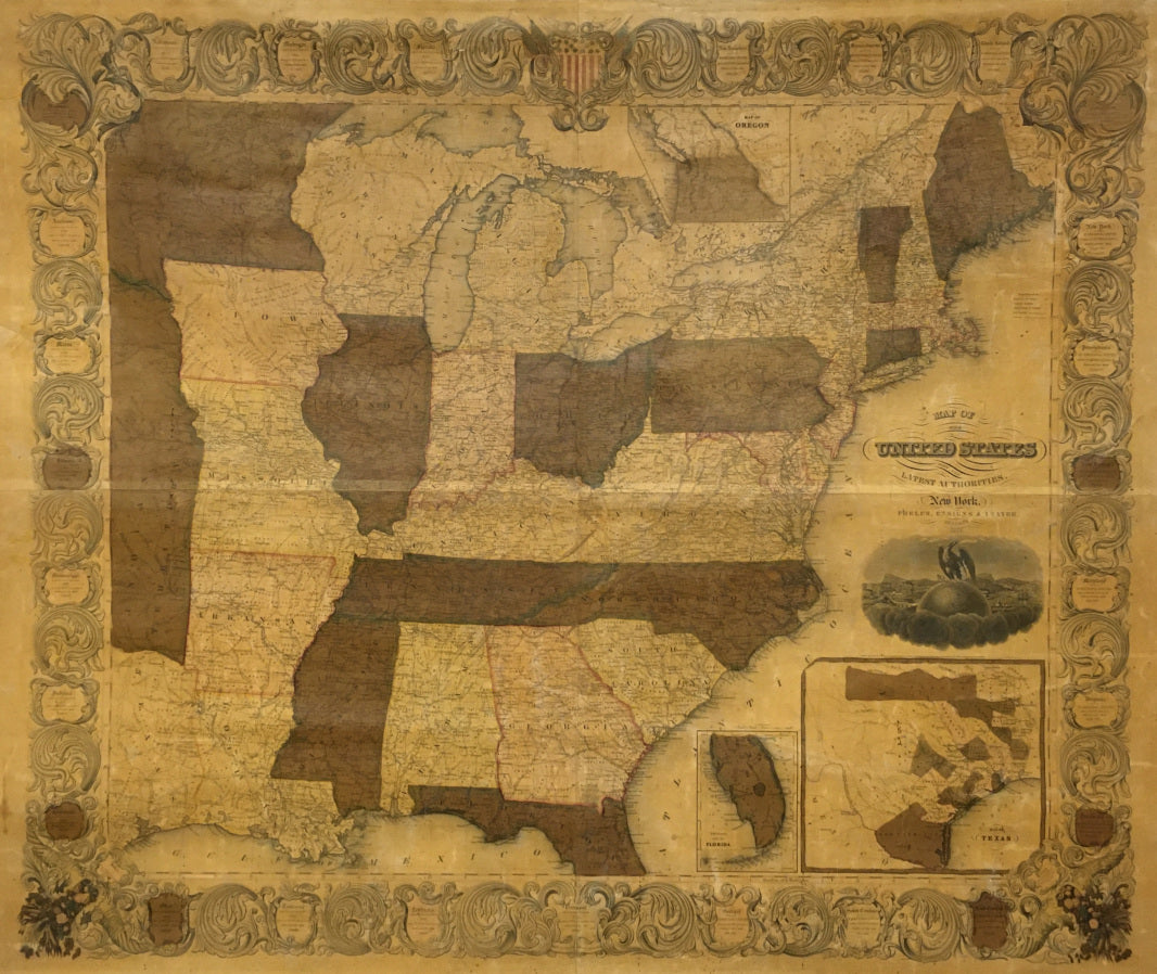
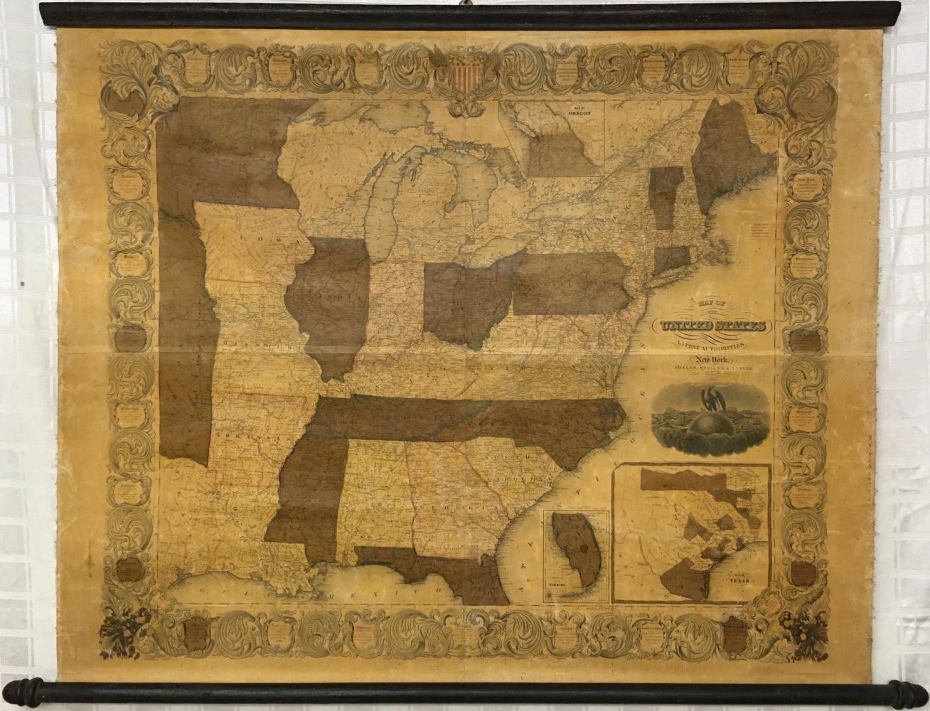
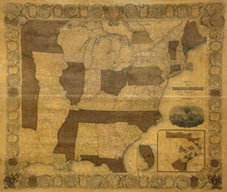
Phelps, Ensign and Thayer. “Map of the United States from the latest Authorities.”
New York: Phelps, Ensign and Thayer, 1847. 35 x 41 ½ (image). 38 ½ x 51 (rollers). Lithograph. Original hand color. Some fading and oxidation to hand coloring. Four sheets mounted to original canvas backing and varnished. Browning of old varnish as to be expected. Repaired tear in left hand margin into decorative border. Fraying along edges as to be expected. Archival linen tape on verso along top and bottom edges of map to reinforce canvas in order to securely attach map to the original rollers. Minor cracking in map with scuffing and wear of varnish also as to be expected. Else, very good condtion. Scarce. A/A
In 1838, Phelps & Ensign began to issue a series of “Traveller’s Guides” that appeared both as folding maps and as wall maps. In the case of the latter, this wall map is an excellent example of their work. This interesting map depicts the United States from the eastern part of Texas to the Atlantic just after the admittance of Texas and Florida as states. The cartographic information is enclosed in a very decorative border. At the top there is a small inset map of the Oregon Territory and bottom right a larger inset map of Texas. Here Texas is shown before the final configuration of her borders from the Compromise of 1850. This map is considered to be a second edition and is scarcer than the commonly found 1847 edition. All in all a very desirable and scarce wall map of the United States.
 %20%0A%20%0Ahttps://philaprintshop.com/products/phelps-ensign-thayer-map-of-the-united-states-from-the-latest-authorities %20%0A%20%0APhelps,%20Ensign%20%26%20Thayer%20%20%E2%80%9CMap%20of%20the%20United%20States%20from%20the%20latest%20Authorities%22 %20%0A%20%0A//philaprintshop.com/cdn/shop/products/phelpswallmapc_1024x1024.jpg?v=1657137930 %20%0A%20%0AAntique Prints, Maps, Drawings, Paintings and Rare Books! %20%0A%20%0AThe Philadelphia Print Shop %20%0A106 E. Lancaster Avenue, Lower Level %20%0AWayne, PA 19087 %20%0A%20%0APhilaPrintShop.com %20%0A@PhiladelphiaPrintShop %20%0A 610 (808) 6165)