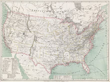
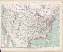
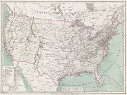
Carl Flemming. “Vereinigte Staaten Von Nord-America.” From Heinrich Berghaus’s Vollständiger Universal-Handatlas.
Glogau, Germany: C. Flemming, [1853]. 12 1/4 x 16 1/4. Lithograph by C. Flemming. Original color. Very good condition.
Carl Flemming ran an important German map publishing house in Glogau and Berlin in the middle of the nineteenth century. The Germans were very interested in America at this period, with large numbers having emigrated to Texas in the 1840s, and more taking advantage of the opportunities of land and employment by coming to the mid-west and into the west. The map is of particular interest for its indication of the political divisions in the trans-Mississippi region. These are named using a numbered key in the bottom left corner, and the territories shown include Oregon, Missouri, “Minisotah,” Indian, and Utah.


