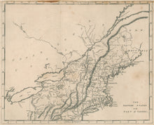
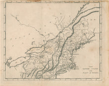
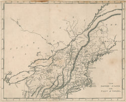
R. Brookes. "The Eastern States with Part of Canada." From Brookes' General Gazetteer Improved.
Philadelphia & Richmond: Johnson & Warner, 1812. 2nd American edition. 7 1/2 x 9 1/2. Engraving. A few slight spots. Trimmed to top neat line. Otherwise, very good condition.
An interesting map of part of the United States, issued in Dr. R. Brookes' Gazetteer of the world from 1812. The states shown are: most of Pennsylvania, New York, New Jersey, Connecticut, Rhode Island, Massachusetts, New Hampshire, and Maine as it appeared as a "district." Besides political boundaries the map shows major mountain ranges and waterways.


