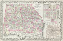
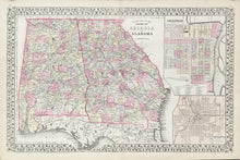
S. Augustus Mitchell, Jr. "County Map of the States of Georgia and Alabama." From Mitchell's New General Atlas.
Philadelphia: S. Augustus Mitchell, Jr. 1883. 13 1/2 x 21 1/2. Lithograph. Original hand color. Very good condition.
For most of the middle part of the nineteenth century, the firm founded by S. Augustus Mitchell, Sr. dominated American cartography in output and influence. This fine map is from one of his son's atlases, and it shows Alabama and Georgia in 1880. Towns, rivers, roads and other topographical information are clearly shown, and the counties shaded with contrasting pastel shades. This is a larger, updated version of Mitchell's earlier maps of these two states, reflecting the increased development at the time. Of particular interest are the insets of Savannah and Atlanta.


