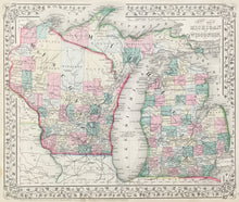
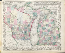
W.H. Gamble. "County Map of Michigan and Wisconsin."
Philadelphia: S. Augustus Mitchell, Jr., 1867. 11 1/2 x 13 1/2. Lithograph. Original hand color. With decorative grape vine border. Very good condition.
A third version of Mitchell's map of Michigan and Wisconsin (cf. above). This is an updated version of the W.H. Gamble rendering of 1863. Besides a change in the border style, the main change is that there is considerably more railroads shown in southern Michigan, showing the development of that state.


