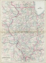
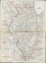
Asher & Adams. "Asher & Adams' Illinois."
New York: Asher & Adams, 1875. 22 3/8 x 15 3/4. Lithograph. Original hand color. Light browning along center fold with archival tape on verso to reinforce center fold. Minor chips in margin. Else, good condition.
A large, bright map of Illinois about a decade after the Civil War. Counties both within the state and in nearby sections of adjoining states (Indiana, Kentucky, Missouri, Iowa, Wisconsin) are shown in light pastels. Many cities and towns are shown, and there is the type of strong emphasis on rail lines to be expected at this time of the nation's development. Attractive and filled with detail, a nice map of the state from the period.


