


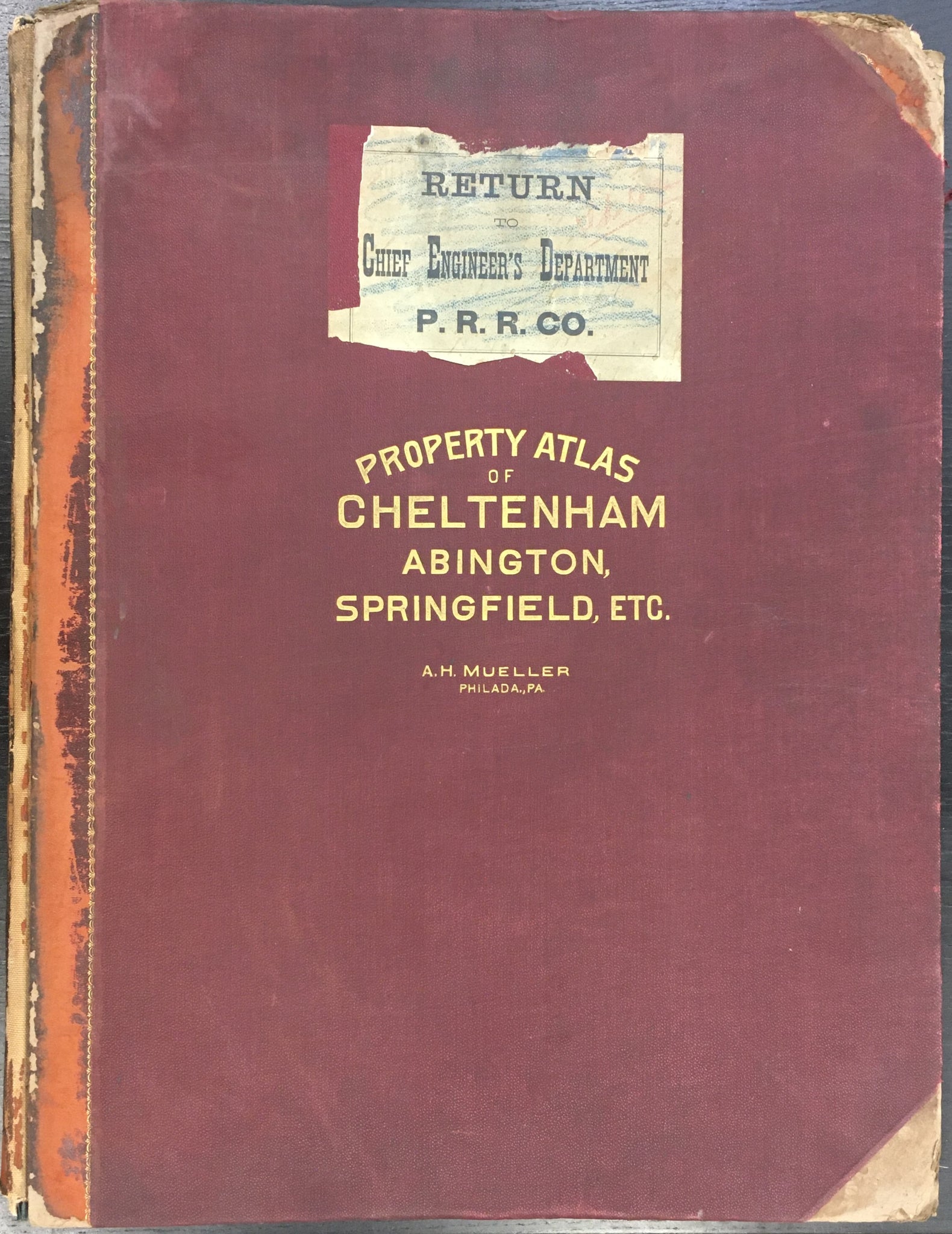
A. H. Mueller. Atlas of the Properties on the Reading Railway Embracing Abington, Cheltenham, and Springfield with Parts of Moreland and Whitemarsh Townships.
Philadelphia: A. H. Mueller, 1909. Folio. 22 x 32 (full sheet). Lithographs. Original hand color. Twenty two linen backed maps. Atlas is complete. Cloth. Light time toning to maps. Typical wear to covers. Else, contents very good condition.
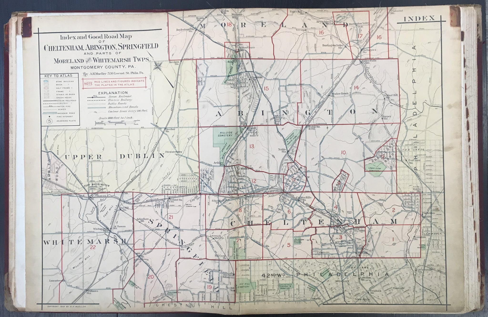
Starting about 1870, atlases of properties in and outside of Philadelphia began to be published by such firms as Bromley, Hopkins and Mueller. Their output has provided us with excellent, detailed images of the growth of the city of Philadelphia and the suburbs as well from the 1870s through the first part of the twentieth century. These atlases were used for planning, government purposes, and just for the information of citizens of the area. These atlases are also known as ‘railroad, real estate, and/or insurance’ atlases and contained very accurate and detailed information such as streets, properties, parks, and other topographical and social features. Such information as property ownership, materials of construction, proposed developments, and so forth, are given with clear precision. Thusly these maps provide a rigorous and accurate picture of the locale at one point in history, and allows us a unique privileged look at our past.

 %20%0A%20%0Ahttps://philaprintshop.com/products/mueller-a-h-atlas-of-the-properties-on-the-reading-railway-embracing-abington-cheltenham-and-springfield %20%0A%20%0AMueller,%20A.%20H.%20%20%E2%80%9CAtlas%20of%20the%20Properties%20on%20the%20Reading%20Railway%20Embracing%20Abington,%20Cheltenham,%20and%20Springfield.%22%20%201909 %20%0A%20%0A//philaprintshop.com/cdn/shop/files/mulleratlasabington_1024x1024.jpg?v=1704911400 %20%0A%20%0AAntique Prints, Maps, Drawings, Paintings and Rare Books! %20%0A%20%0AThe Philadelphia Print Shop %20%0A106 E. Lancaster Avenue, Lower Level %20%0AWayne, PA 19087 %20%0A%20%0APhilaPrintShop.com %20%0A@PhiladelphiaPrintShop %20%0A 610 (808) 6165)