

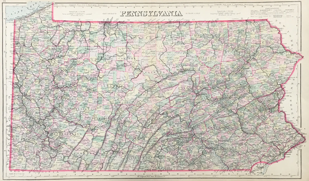

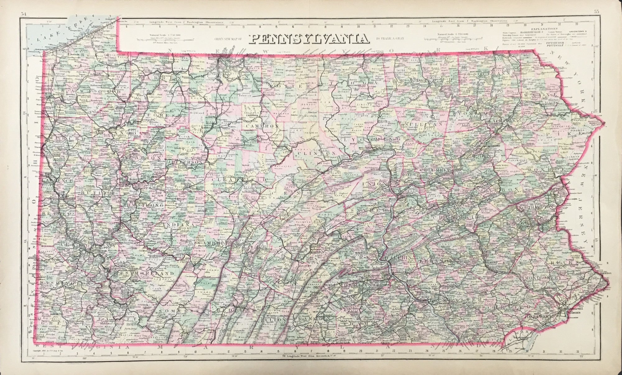
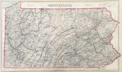
Frank A. Gray. "Gray's New Map of Pennsylvania."
Philadelphia: O.W. Gray & Son, 1883. 16 x 27. Lithograph. Original hand color. Very good condition.
A fine map by Frank A. Gray, showing political boundaries plus railroads, canals and the towns and cities they served in 1884. Historically, the positioning of railroad lines is telling, illuminating areas of heavy development east of the Susquehanna and west of the Allegheny.
The firm of O.W. Gray and Son began its publishing around mid-century and produced regional and U.S. atlases up to the 1880s. This map is typical of their work, and its attractive presentation and interesting detail make it a nice example of late nineteenth century Philadelphia cartography.
 %20%0A%20%0Ahttps://philaprintshop.com/products/gray-frank-a-grays-new-map-of-pennsylvania %20%0A%20%0AGray,%20Frank%20A.%20%20%22Gray's%20New%20Map%20of%20Pennsylvania%22 %20%0A%20%0A//philaprintshop.com/cdn/shop/files/graypa1883c_1024x1024.jpg?v=1711486273 %20%0A%20%0AAntique Prints, Maps, Drawings, Paintings and Rare Books! %20%0A%20%0AThe Philadelphia Print Shop %20%0A106 E. Lancaster Avenue, Lower Level %20%0AWayne, PA 19087 %20%0A%20%0APhilaPrintShop.com %20%0A@PhiladelphiaPrintShop %20%0A 610 (808) 6165)