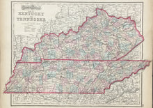
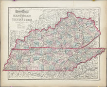
Gray, Frank A. "Gray's New Map of Kentucky and Tennessee"
  • Load image into Gallery viewer, Gray, Frank A. "Gray's New Map of Kentucky and Tennessee"
  • Load image into Gallery viewer, Gray, Frank A. "Gray's New Map of Kentucky and Tennessee"

Gray, Frank A. "Gray's New Map of Kentucky and Tennessee"

Regular price
$125
Sale price
$125
Regular price
Sold
Unit price
per 
Shipping calculated at checkout.

Frank A. Gray. "Gray's New Map of Kentucky and Tennessee."

Philadelphia: O.W. Gray & Son, 1876. 15 3/4 x 25 3/4. Lithograph. Original color. Very good condition.

A nicely detailed map of the states by the Philadelphia firm of O.W. Gray and Son. The firm began its publishing around mid-century and published regional and U.S. atlases up to the 1880s. The map contains excellent topographical information and good detail on the towns, counties, and roads in the states. Of particular note is the extensive network of railroads depicted throughout. This theme is reemphasized in an inset map in the top left of an "Outline Map--Illustrating the System of Railroads." Two other inset maps are included, one with a hypsometric depiction of the states and the other showing the density of population. Tables list the population of each state in each census from 1790 to 1870.