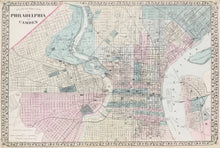
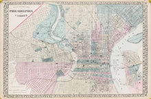
W.H. Gamble. "Philadelphia and Camden".
Philadelphia: S.A. Mitchell Jr., 1881. 14 1/2 x 22. Stone lithograph. Original hand color. Decorative grape vine border. Very good condition.
At the end of the Civil War, Philadelphia was an impressive urban center, the fourth largest city in the world. Most of its important structures were located in what is now known as "Center City." This clear, colorful map focuses on that section, while including the City of Camden across the Delaware River and the area of West Philadelphia where significant expansion occurred in the 1860s and 70s. With the removal of the University of Pennsylvania from Center City to its present location there, and the preparations for the Centennial celebration in West Fairmount Park, West Philadelphia was quickly becoming urbanized. The map was published by S. Augustus Mitchell, Jr., who had taken over his father's firm in 1860, maintaining the company as one of the largest cartographic firms in the world. The map depicts and names streets, rail lines, and major buildings. Each ward is colored in a contrasting pastel shade.


