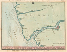
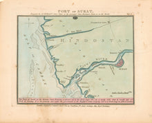
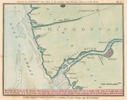
John Luffman, Geogr. "Port of Surat." From Select Plans of the Principal Cities, Harbours, Forts &c. in the World.
London: J. Luffman, 1801. All ca. 4 1/2 x 6 1/2. Engraving by J. Luffman. Original hand color. Minor spotting in margins, else very good condition.
One of a fascinating series of strongly engraved and colored plans of "principal cities, harbours, forts &c. in the World," drawn, engraved and published by John Luffman in between 1799 and 1801. Luffman, who was also a goldsmith, worked in London from about 1776 until 1802, issuing a number of separate maps as well as atlases such as his Select Plans. This work contained a wide and unusual selection of detailed plans from all around the world. These plans contain surprising detail, often with a numbered key, and each is precisely engraved and beautifully hand colored. Besides the subjects mentioned in the title, Luffman also included maps of some countries, regions, and islands. These are historically of considerable interest, but each is a lovely example of turn-of-the-century mapmaking in England, then the center of the cartographic world.


