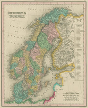
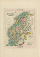
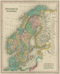
Henry S. Tanner. "Sweden & Norway." From Universal Atlas.
Philadelphia: Carey & Hart, 1843. 10 7/8 x 8 3/4. Engraving. Original hand color. Very good condition.
A map of Sweden, Norway and Denmark by the great American cartographer, Henry Schenck Tanner. Beginning at the end of the second decade of the nineteenth century, Tanner, produced his important American Atlas, the finest American produced atlas to the time. The American Atlas was a huge success and this inspired Tanner, in 1834, to produce his Universal Atlas, of more manageable size. This atlas contained excellent maps of each state, focusing on the transportation network, including roads, railroads and canals. All details are clearly presented and these include towns, rivers mountains, political boundaries and transportation information. In 1843 Carey & Hart issued an updated edition of the Tanner atlas. These maps were later purchased by S. Augustus Mitchell, and then Thomas, Cowperthwait & Co., but maps from the early Carey & Hart edition are quite rare. This is a typical example of the maps from that atlas, with excellent and current information from the Arctic to the Baltic and North Seas.


