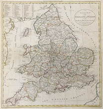
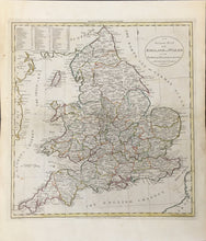
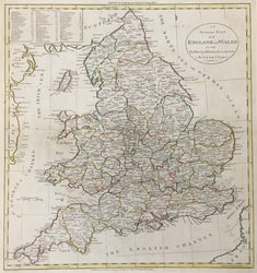
William Guthrie. “An Accurate Map of England and Wales with the Principal Roads . . ..” From A New geographical, historical, and commercial grammar; and present state of the several kingdoms of the world...
London: Dilly and Robinson, 1 January 1785. 14 1/4 x 13 1/4 (platemark) plus full margins. Engraving (hand colored in outline). Engraved by W. Darton in Tottenham. Slight age browning and a few spots, but very fine.
A lovely map delineating each county which is named in an inset at upper left corner. The counties are given numbers in the map to facilitate naming cities and towns as well as showing the major roads.


