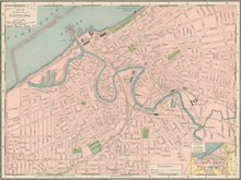
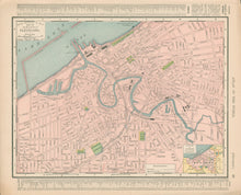
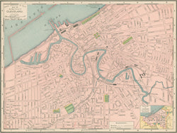
Rand, McNally. “Cleveland.”
Chicago: Rand, McNally & Co., 1905. 9 ¼ x 12 ½. Colored cerograph. Very good condition.
An early twentieth century map from the Rand, McNally & Co. firm out of Chicago, a company that would shift the center of cartographic publishing from the east coast to the mid-west. Typical of the firm’s work, this map has very good detail precisely and neatly exhibited. Topographic and social information, counties, roads, and many more details are neatly illustrated. Aesthetically and cartographically, it foreshadows the maps of the twentieth century.


