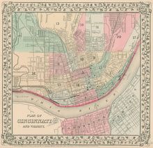
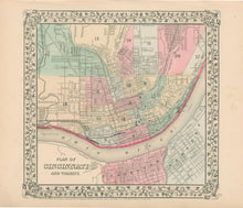
S. Augustus Mitchell, Jr. “Plan of Cincinnati and Vicinity.” From Mitchell’s New General Atlas.
Philadelphia: S. Augustus Mitchell, Jr. 1867. 10 5/8 x 11 (border). Lithographic transfer with full original hand color. With decorative grape leaf border. Minor stains in right hand margin.
For most of the middle part of the nineteenth century, the firm founded by S. Augustus Mitchell dominated American cartography in output and influence. This fine map is from one of his son’s atlases, Topographical information are clearly shown, and the various areas of the city are shaded with contrasting pastel colors. A fine decorative border surrounds the map, and the whole effect makes for an attractive mid-nineteenth century map.


