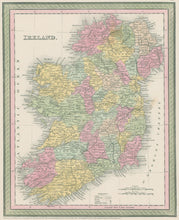
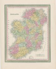
Thomas, Cowperthwait & Co. “Ireland.”
Philadelphia: Thomas Cowperthwait & Co., 1855. 12 1/8 x 9 5/8. Lithographic transfer from engraved plate. Full original color. Very good condition.
An fine map of Ireland issued by the Philadelphia firm of Thomas, Cowperthwait & Co. In 1850 they came out with an updated edition of what had started as H.S. Tanner’s New Universal Atlas, and the year before had been issued by S. Augustus Mitchell. This map of Ireland is a good example of their output. Topographical information is clearly presented and towns, lakes, roads, and other information is shown and named. Political divisions are indicated with contrasting pastel shades


