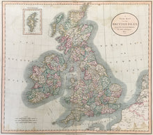
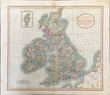
John Cary (ca. 1754-1835). “A New Map of the British Isles…” From Cary’s New Universal Atlas.
London: J. Cary, 1807. 18 1/4 x 20 1/2. Engraving. Full original hand color. Water stain bottom right and left hand sides and along top. Light transference of printed image on both pages. Else, good condition.
A very detailed map of British Isles. John Cary the founder of the famous English cartographic firm. Cities, rivers and lakes are graphically presented, and this together with the contrasting pastel shades of the counties gives the map a striking appearance. Roads are shown, and shipping distances are shown from many ports. Scales are given for British miles as well as Irish and Geographical miles. Top left is an inset map of the Shetland Islands.


