Adding product to your cart
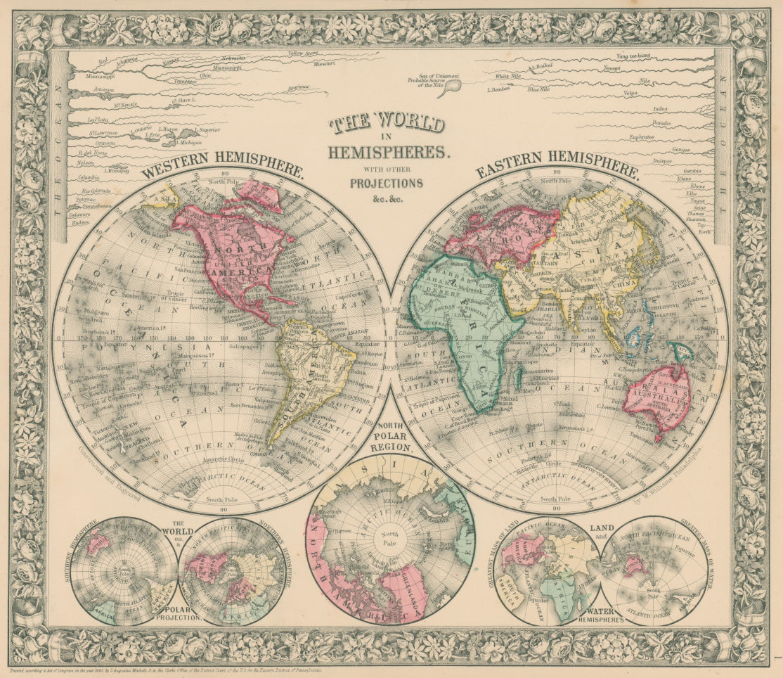
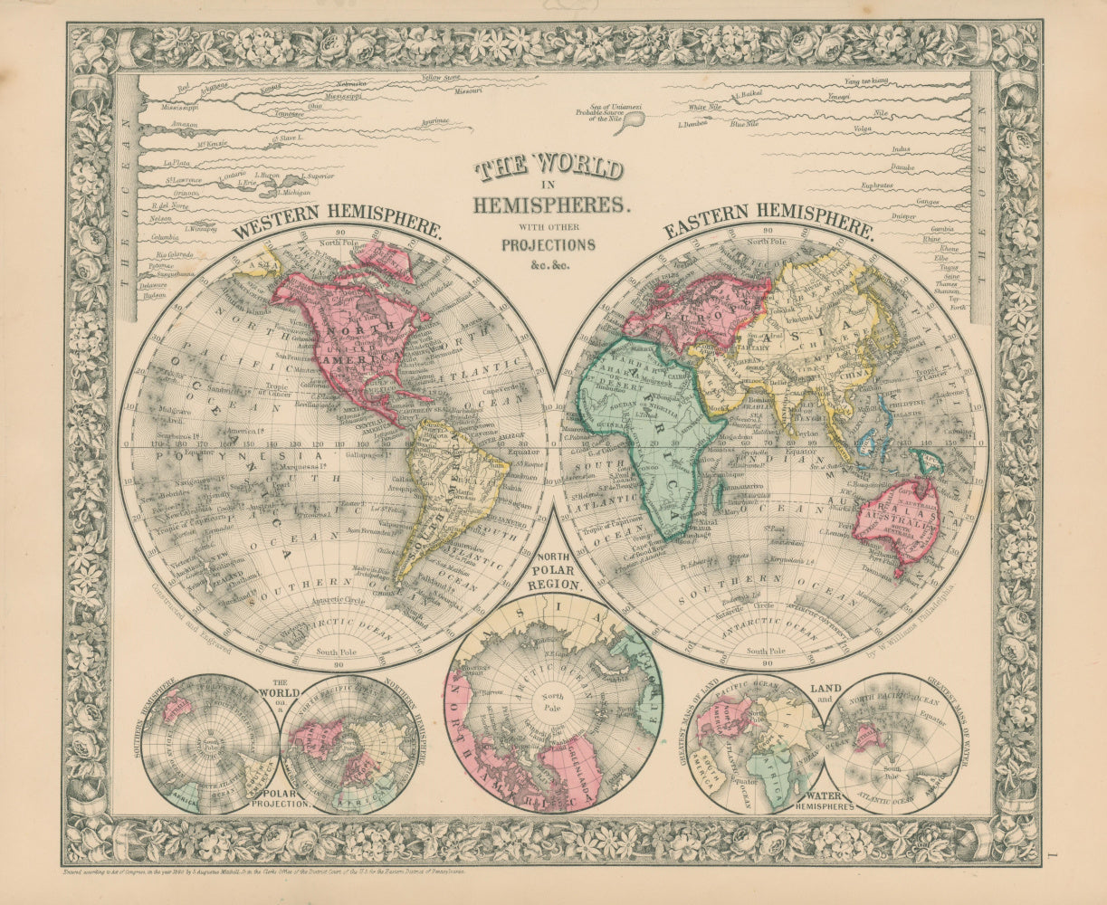
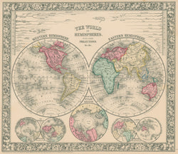
S. Augustus Mitchell Jr. “Map of the World on the Mercator Projection, Exhibiting the American Continent as its Centre.” From Mitchell's New General Atlas.
Philadelphia: S.A. Mitchell, Jr., 1860. 14 1/8 x 17 7/8. Lithograph. Original hand-coloring. Full margins. Very good condition.
For most of the middle part of the nineteenth century, the firm founded by S. Augustus Mitchell dominated American cartography in output and influence. These fine maps are from one of his son’s atlases issued in 1860. The first map uses a double hemisphere projection, the second, Mercator’s projection. On the first map, below the two hemispheres are three different perspectives on the world, and above is a chart of the length of major rivers. With their fine decorative borders and nice hand coloring, these are fine examples of mid-nineteenth-century American cartography.
Use left/right arrows to navigate the slideshow or swipe left/right if using a mobile device


 %20%0A%20%0Ahttps://philaprintshop.com/products/mitchell-s-augustus-jr-map-of-the-world-on-the-mercator-projection-exhibiting-the-american-continent-as-its-centre %20%0A%20%0AMitchell,%20S.%20Augustus%20Jr.%20%20%E2%80%9CMap%20of%20the%20World%20on%20the%20Mercator%20Projection,%20Exhibiting%20the%20American%20Continent%20as%20its%20Centre.%E2%80%9D %20%0A%20%0A//philaprintshop.com/cdn/shop/products/mitchellworld1860c_1024x1024.jpg?v=1639755845 %20%0A%20%0AAntique Prints, Maps, Drawings, Paintings and Rare Books! %20%0A%20%0AThe Philadelphia Print Shop %20%0A106 E. Lancaster Avenue, Lower Level %20%0AWayne, PA 19087 %20%0A%20%0APhilaPrintShop.com %20%0A@PhiladelphiaPrintShop %20%0A 610 (808) 6165)