

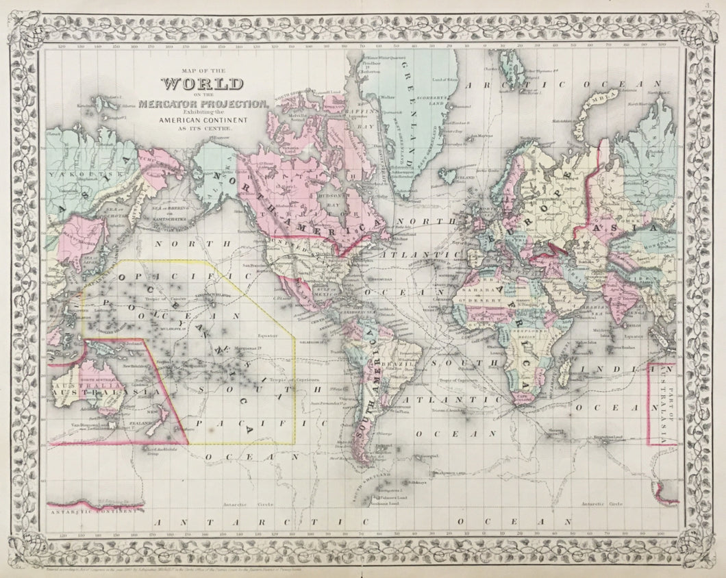
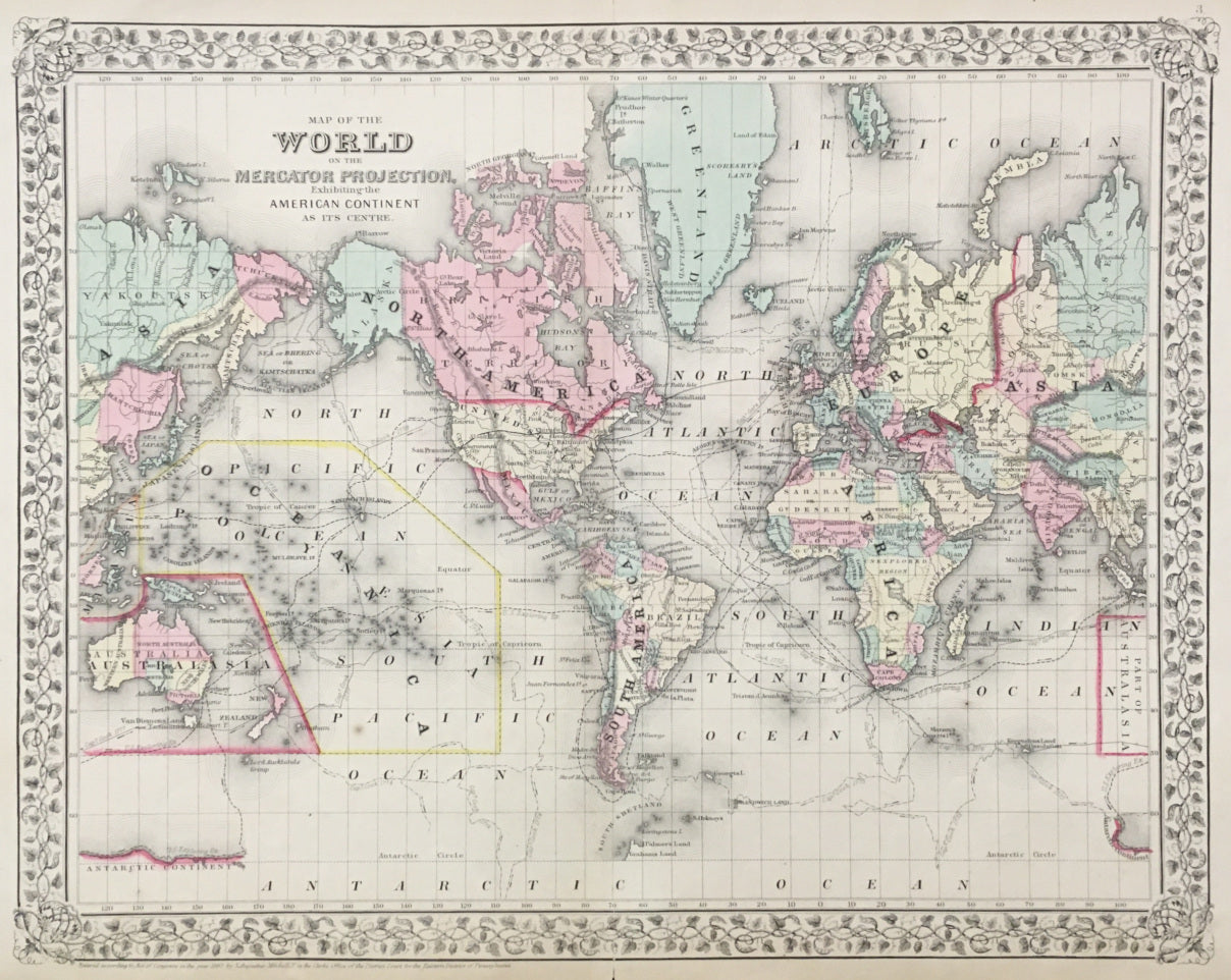

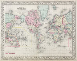
S.A. Mitchell Jr. "Map of the World on the Mercator Projection, Exhibiting the American Continent at its Centre." From Mitchell's New General Atlas.
Philadelphia: S.A. Mitchell Jr., 1867. 14 1/8 x 17 3/4. Lithograph. Full original hand color. With decorative grape vine boarder. Very good condition.
For most of the middle part of the nineteenth century, the firm founded by S. Augustus Mitchell dominated American cartography in output and influence. This fine map is from one of his son's atlases issued in 1860, and it is an excellent example of the firm's work. Towns, roads, railroads, rivers, lakes, and political and geographical boundaries are clearly marked. A fine example of American cartography, this map depicts the most current topographical information available at the time.
 %20%0A%20%0Ahttps://philaprintshop.com/products/mitchell-s-a-jr-map-of-the-world-on-the-mercator-projection-exhibiting-the-american-continent-at-its-centre-1 %20%0A%20%0AMitchell,%20S.A.%20Jr.%20%22Map%20of%20the%20World%20on%20the%20Mercator%20Projection,%20Exhibiting%20the%20American%20Continent%20at%20its%20Centre.%22 %20%0A%20%0A//philaprintshop.com/cdn/shop/products/mitchellworld1867c_1024x1024.jpg?v=1632935062 %20%0A%20%0AAntique Prints, Maps, Drawings, Paintings and Rare Books! %20%0A%20%0AThe Philadelphia Print Shop %20%0A106 E. Lancaster Avenue, Lower Level %20%0AWayne, PA 19087 %20%0A%20%0APhilaPrintShop.com %20%0A@PhiladelphiaPrintShop %20%0A 610 (808) 6165)