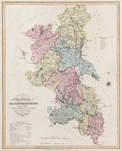
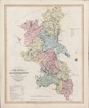
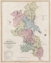
After William Ebden (fl.1811-30). “New Map of the County of Buckinghamshire.” From A Complete County Atlas of England & Wales.
London: J. Duncan, 1833. Ca. 17 x 14. Engraving by Edward Hoare and J. Reeves. Original hand color. Very good condition.
A map from a striking atlas of county maps of England and Wales published by James Duncan. Each map shows the hundreds, the district divisions, “and other Local Arrangements effected by the Reform Bill.” Detail is most impressive, all finely and clearly engraved, and this includes parks, towns and villages, major estates, some topography, rivers, lakes, and woods. Issued during a period of great expansion of the transportation network throughout the country, these maps carry particularly good information on canals and roads, including mail, turnpike, ‘good travelling,’ and by-roads. A very handsome and historically interesting set of county maps.
We also have many British county maps by Robert Morden from William Camden’s Britannia, 1695. Please call 610.808.6165 or email <philaprint@philaprintshop.com> for a list and/or photographs.


