


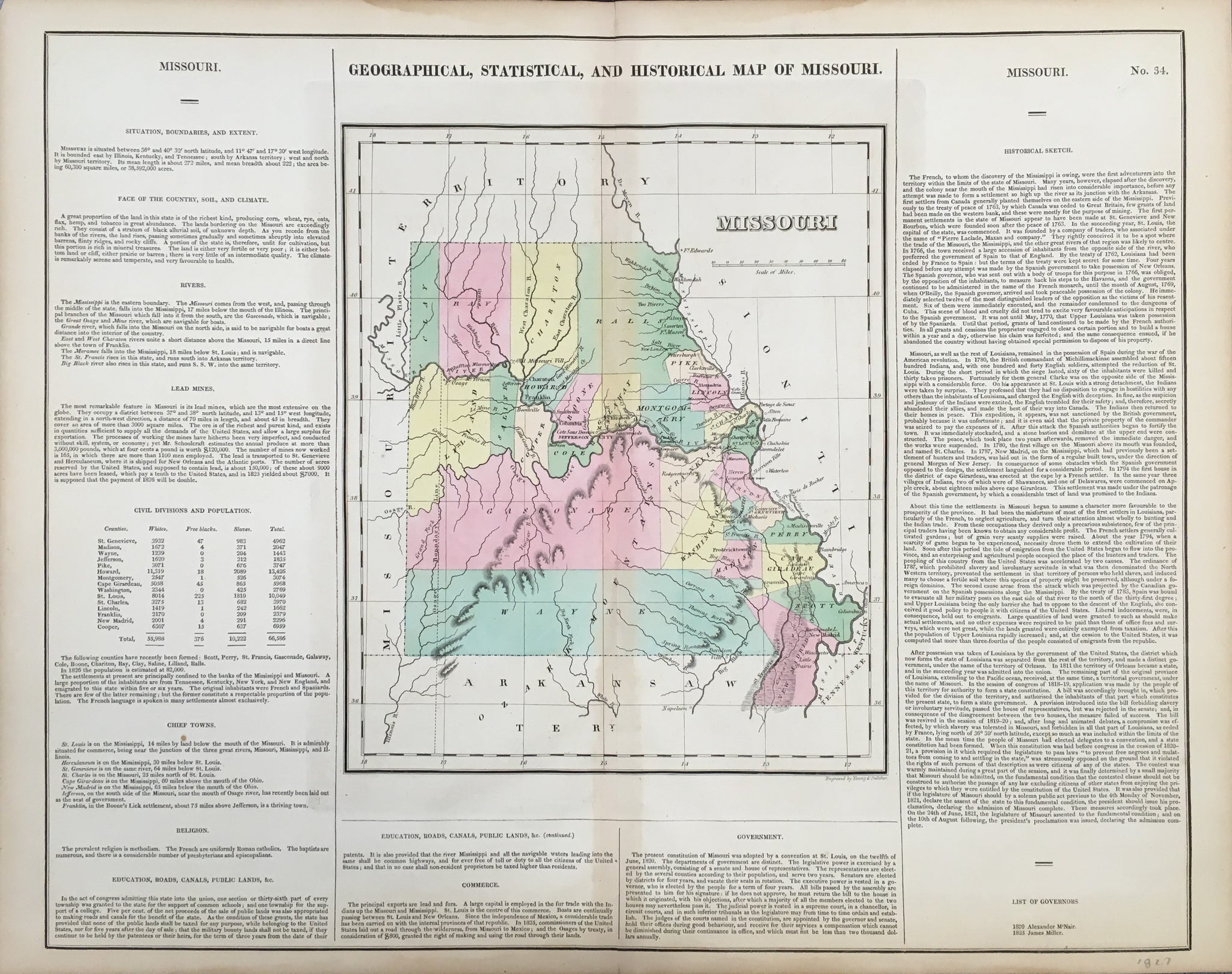
Carey & Lea. "Missouri."
Philadelphia: H.C. Carey & I. Lea, 1827. 11 1/4 x 18 1/2 (map platemarks); 16 1/4 x 20 3/4 (full sheet). Engraving by Young & Delleker. Full, original hand coloring. Some time-toning to paper, but overall very attractive.
In 1822, Henry Charles Carey and Isaac Lea published their A Complete Historical, Chronological, and Geographical American Atlas. This volume was based on Emmanuel Las Cases' Atlas Historique of 1803, with updated maps and text modified by Carey, a political economist. He considered himself an American foil to John Stuart Mill and the London economists who were proclaimers of "the gloomy science" influenced by Ricardo and Malthus. Instead of preaching overpopulation and degeneration of the human species, Carey illustrated the nations of the western hemisphere through maps that showed an expanding region with ample promise of developing into lands of great new opportunity and growth.
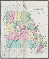
The sheets from this atlas, which cover North America, Central America, South America and the West Indies, are comprised of an engraved map surrounded by text documenting the history, climate, population and so forth of the area depicted. The atlas is particularly known for its excellent early maps of the states and territories of the United States. This map is a fine example of the first map of Missouri as a state, probably derived from U.S. Government surveys conducted by Stephen H. Long's important expedition of 1819-20. No credit for this source appears on the map, but Carey & Lea were presently publishing Edwin James' official Report of that expedition, so they used the information in their own atlas published one year earlier.
Missouri is shown in a very early stage of development, with few towns and no roads. Rivers and topography are illustrated and the political divisions are hand colored with bright washes. Carey surrounded his maps with text in a format that copied Lavoisne's French atlases, and his descriptions of the region were optimistic and promotional. Note the "List of Governors," designed for future editions, which has two names. An important item of Missouri interest.
 %20%0A%20%0Ahttps://philaprintshop.com/products/carey-lea-missouri %20%0A%20%0ACarey%20%26%20Lea%20%20%22Missouri%22 %20%0A%20%0A//philaprintshop.com/cdn/shop/files/careyleamothmb_1024x1024.jpg?v=1707251380 %20%0A%20%0AAntique Prints, Maps, Drawings, Paintings and Rare Books! %20%0A%20%0AThe Philadelphia Print Shop %20%0A106 E. Lancaster Avenue, Lower Level %20%0AWayne, PA 19087 %20%0A%20%0APhilaPrintShop.com %20%0A@PhiladelphiaPrintShop %20%0A 610 (808) 6165)